Whether you're hiking a mountain trail, cycling through varying terrains, or simply curious about your current altitude, knowing your precise elevation can be both fascinating and practical. With the SpeedX app, checking your elevation has never been easier or more accurate. This comprehensive guide will walk you through how to use SpeedX to monitor your altitude in real-time with professional-grade precision.
Understanding Elevation Measurement in SpeedX
SpeedX offers two distinct methods for measuring your elevation, providing you with comprehensive altitude data:
1. GPS Altitude
GPS altitude uses satellite signals to determine your elevation above sea level. This method works anywhere with a clear view of the sky and doesn't require calibration. SpeedX processes GPS data to provide you with reliable elevation readings even in remote locations.
2. Barometric Altitude
The barometric altitude feature uses your device's pressure sensor to calculate elevation based on atmospheric pressure. This method often provides more precise relative altitude changes, making it ideal for activities where tracking elevation gain or loss is important, such as hiking or climbing.
How to Check Your Elevation Using SpeedX
- Launch the SpeedX App: Open SpeedX on your mobile device.
- Navigate to the Altitude Display: The main interface prominently features your current elevation.
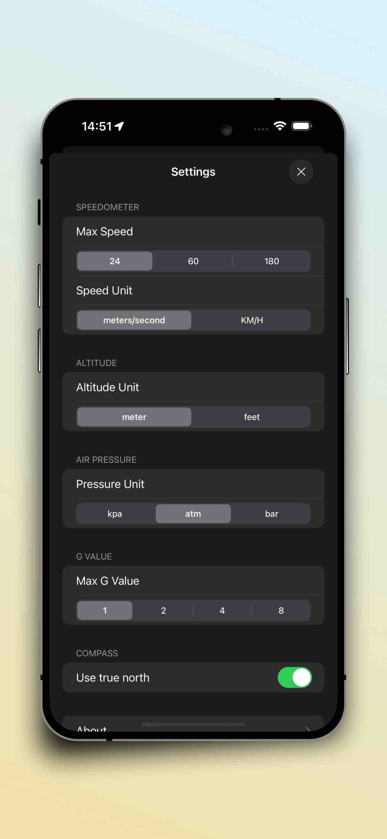
- Choose Your Preferred Unit: Toggle between meters and feet based on your preference.
- View Both Measurement Types: SpeedX displays both GPS and barometric altitude when available, allowing you to compare readings.
- Monitor Changes in Real-Time: As you move up or down in elevation, watch the values update instantly.
Advanced Elevation Features in SpeedX
Elevation Tracking During Trips
One of SpeedX's most valuable features is its ability to record elevation data throughout your journey:
- Elevation Profiles: View a graph of your altitude changes over time or distance.
- Maximum and Minimum Elevation: SpeedX automatically records your highest and lowest points during a trip.
- Total Ascent and Descent: Track your cumulative elevation gain and loss throughout your activity.
Calibration for Maximum Accuracy
For the most precise barometric altitude readings:
- Use SpeedX at a location with a known elevation to verify accuracy
- Remember that barometric readings can be affected by weather changes
- For critical applications, cross-reference with GPS altitude
Practical Applications for Elevation Tracking
For Hikers and Mountaineers
Accurate elevation data is crucial for mountain safety and navigation. SpeedX helps you:
- Confirm your position on topographic maps
- Track progress toward summit goals
- Monitor ascent rates to prevent altitude sickness
- Record achievement data for personal records
For Cyclists and Runners
Elevation gain significantly impacts workout intensity. With SpeedX, you can:
- Quantify the difficulty of your routes
- Track elevation-based training metrics
- Plan routes with appropriate elevation challenges
- Compare performance on hills over time
For Travelers and Explorers
Knowing your elevation adds context to your travel experiences:
- Record the heights of famous landmarks you visit
- Track elevation changes during road trips or flights
- Understand how altitude affects local climate and ecosystems
Why SpeedX Offers Superior Elevation Tracking
SpeedX stands out from other elevation tracking apps for several reasons:
- Dual Measurement Systems: By providing both GPS and barometric altitude, SpeedX ensures you always have reliable data.
- Offline Functionality: Check your elevation anywhere, even without internet connectivity.
- Integration with Other Metrics: View your elevation alongside speed, direction, and other environmental data for a complete picture of your journey.
- Clean, Intuitive Interface: Easily read your elevation data at a glance, even in bright outdoor conditions.
- Comprehensive Trip Recording: Save your elevation data as part of detailed trip logs for future reference.
Whether you're a serious mountaineer tracking summit attempts, a fitness enthusiast quantifying workout intensity, or simply curious about the world around you, SpeedX provides the accurate elevation data you need in an accessible, user-friendly package.
Download SpeedX today and gain a new perspective on your elevation—literally!
Download
如果您当前在微信中,可以长按下面的二维码下载: